
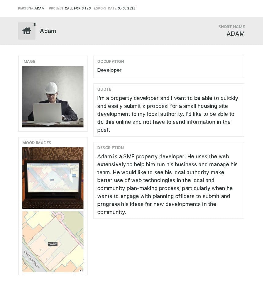
We’ve developed a new online mapping and engagement service for Local Authorities to deploy each time they run a Call for Sites consultation. It’s fast, efficient and easy to use. Once implemented, it’s accessible online to the public 24/7 through any web browser.
The service deploys a unique snapping tool (see below) that ensures every site plan submitted is accurate to the base map over which the plan has been drawn. For Local Authorities the online mapping and engagement service supports large scale digital mapping, such as OS MasterMap, so it’s guaranteed that each site plan submitted by the public is consistent in terms of scale, accuracy, completeness and area measurement (hectares) no matter where the site is located in the Local Authority’s administrative area.
After submission each site plan is immediately available as positionally accurate, geo-referenced spatial data, ready for its assessment by planning officers as a potential site for development.
With the online mapping and engagement service planning officers are able to commit more of their valuable time to assessing site data rather than having to set aside time and resources to capturing or converting site plans into suitable data formats for that assessment to begin.
Q: What is a Call for Sites?
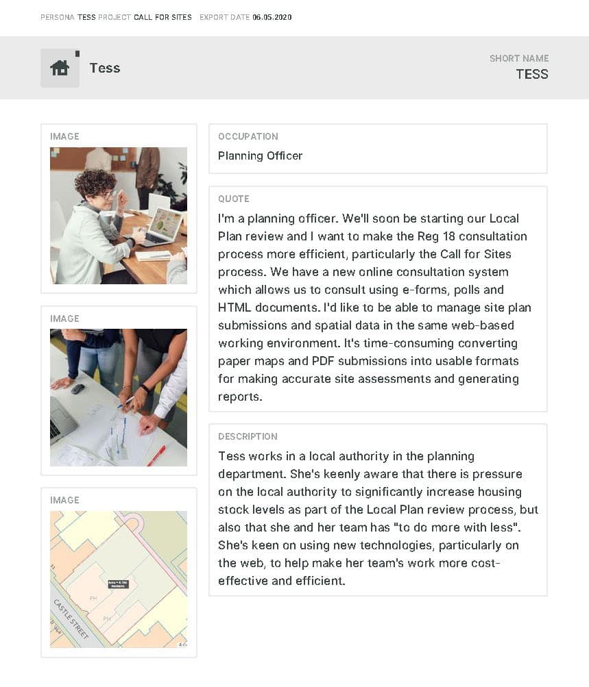
A: Call for Sites is a public engagement exercise managed by Local Authorities. Members of the public can submit their ideas and relevant information about potential sites for development in a Local Authority area. A Call for Sites is normally implemented as a planned stage in the preparation of a new Local Plan or is included as part of a review of an existing Local Plan and normally lasts for between 4-8 weeks.
Q: What is the Call for Sites online mapping and engagement service?
A: It’s a web service we developed for Local Authorities to implement when they open a ‘Call for Sites’. Via the new web service the public can draw and submit detailed and accurate site plans without having to use an offline CAD or GIS or software or have to pay a 3rd party for that service. They can now draw and submit an accurate site plan through their web browser.
The service is simple to implement and simple to use, both for the public and for planning officers. It takes advantage of the global 24/7 accessibility and familiarity of the web to deliver a professional and user-friendly platform for Local Authorities to engage with the public. Using the service speeds up the site submission process for the public and the post submission site assessment process for planning officers.
Q: How does the online mapping and engagement service speed up the Call for Sites process?
A: All that public users have to do is type in the service’s web address and register and they’re ready to draw their site plan. The service sets a consistently high standard, both in the way users draw their site and in the data format of their site plan. Unlike traditional Call for Sites methods our web service ensures that the site plan data is drawn accurately over the most appropriate base mapping each and every time.
Using the online mapping service ensures that the site plan is correctly geo-referenced, positionally accurate and in a suitable spatial data format for immediate post submission assessment.
When integrated with an online form or consultation service the online mapping and engagement tool guarantees that all data relating to the site, including the site plan, is available in a useful digital format for post submission assessment by planning officers.
Q: How does the online mapping and engagement service guarantee accurate site plans?
A: Central to the online mapping service is a new drawing tool we have developed. The tool allows the public user to draw and submit an accurate and to-scale site plan over Ordnance Survey MasterMap and through their web browser.
The drawing tool works out of the box in any latest browser. It has a user interface that looks and feels like a standard web page so users feel confident in using the tool.
Integral to the drawing tool is a feature called snapping.
Snapping allows the user to be guided by the points and lines of the MasterMap base map as they draw their own site plan over the top of the base map. When in Draw mode their cursor will find the nearest point on the base map that is available to them to guide them as they draw. The user can snap their own drawing point to the same coordinate as the base map point, thereby ensuring the site plan is drawn accurately to that base map.
The tool also automatically calculates the area of the site plan in hectares.
The drawing tool’s snapping feature coupled with the automatic area measurement feature ensures planning officers receive site plans drawn over the latest OS MasterMap vector mapping that are consistent in data format and accuracy no matter who has submitted the site or what the site represents.
Q: What other features does the online mapping and engagement service offer besides area measurement and snapping?
A: During a drawing session a user can modify their site plan as often as they want to ensure it’s as accurate as possible before they submit it. In Modify mode the user can add more points to their site plan and move existing points to make the drawing bigger/smaller or more positionally accurate.
Users can add access points as part of their site plan submission.
There is an address and postcode search tool so users can centre the map to where they want to draw their site plan.
Users can pan the map and zoom in and out of the map, even when they are drawing.
Users can submit one or more site plans during their drawing session before they submit.
Q: As a Local Authority can we integrate the online mapping and engagement service within our own online Call for Sites service?
A: Yes. We have designed the tool so it can be easily integrated with an online form or equivalent consultation web service you might be using. Integrating our online mapping and engagement service in your Local Authority’s own online Call for Sites service means the public can submit both the accurate site plan and the relevant details for that site as a single instance data submission process. This significantly improves the overall Call for Sites service and user experience you offer to the public.
Integrating the online mapping and engagement service ensures planning officers receive all site plan information as a single data package.
Q: As a Local Authority we still receive site plans on paper or as PDF files. Can we use the drawing tool to convert these types of site plans into useful data?
A: Yes, This is another key benefit of the Call for Sites web service. Even if you receive site plans in formats that aren’t digitally useful you are able to overcome that problem with the online drawing tool. Just like a public user, a planning officer also has 24/7 access to the drawing tool so they can convert site plans received on paper or in other formats into useful data for post submission assessment.

Q: What happens to the site plan data after it has been submitted? What can we do with it as part of the Call for Sites service?
A: That’s up to you. Your site plan data is stored in a format that can be opened by any GIS, or used in third party online systems. It can also be viewed on other maps created in OpusMap, and further edited or analysed within our OpusMap software.
We are working on more features for the Call for Sites service for planning officers to use post submission. These features will help in the way data collected from a Call for Sites can be validated, assessed for their development potential and reported online and offline.
Q: As a Local Authority we identify potential sites from other sources such as our Strategic Housing Land Housing Land Availability Assessments and Town Centre Strategies. Can we use the Call for Sites service in conjunction with these site assessment methods?
A: Yes. Once the Call for Sites service has been activated in your Local Authority area you can use it to support any planning stage or project where you want stakeholders to capture and submit site or location-based spatial data.
Q: How can I find out more about the Call for Sites online mapping and engagement service?
A: If you’re interested in this new service please get in touch with us directly. We can run a demo of the system remotely via video conferencing software. If any live Call for Sites are using the service we’ll share links to them from here.